Dutchman Bluff Springs Loop
Located just East of Phoenix, Arizona, the Dutchman Bluff Springs Hiking Loop is tucked in nicely along the Superstition Mountains. During one of my assignments in Arizona, I made time to get in a days hike. Looking over All Trails, I came across this gem. I was looking for something that required medium to strenuous effort without any rock climbing or scaling rock walls. Hiking solo, I wanted to keep risk to a minimum. I still had a job to do the next day after all!
This loop is just over 9 miles in length and typically takes 4-5 hours to complete, depending on weather and your fitness level. I finished somewhere in the middle of that timeframe. As with every trail in Arizona, please be prepared. Hiking in the desert can be dangerous without proper preparation. Always let someone know where you are going and when you should be back. Pack more food and water than expected. I suggest some type of satellite emergency device, such as a Garmin InReach. A good portion of this trail has ZERO cellular coverage. For the kids out there, that means your iPhone isn’t going to let you upload to Instagram while hiking. Sorry.
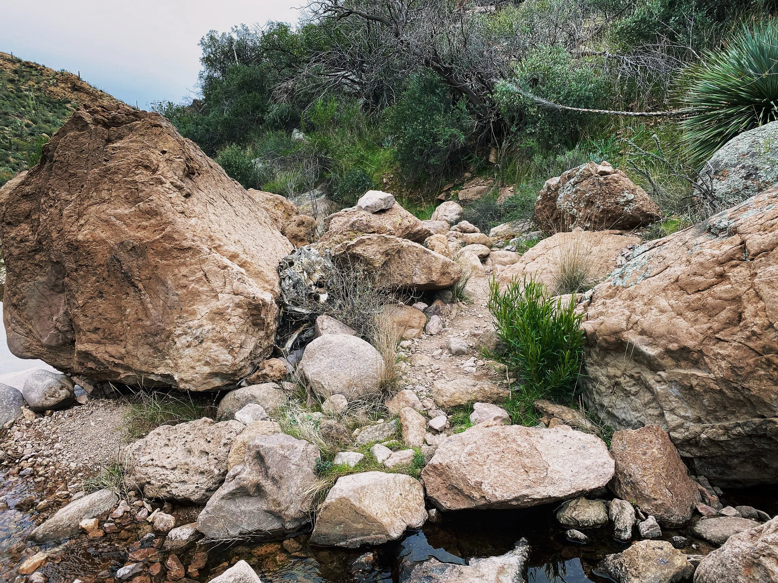
I would also recommend a solid pair of hiking boots, leave the trainers at home. You will want some ankle support and a hard sole. A good portion of this trail requires navigating rocks, stream beds, narrow passages and a few exposed sections where footing is key.
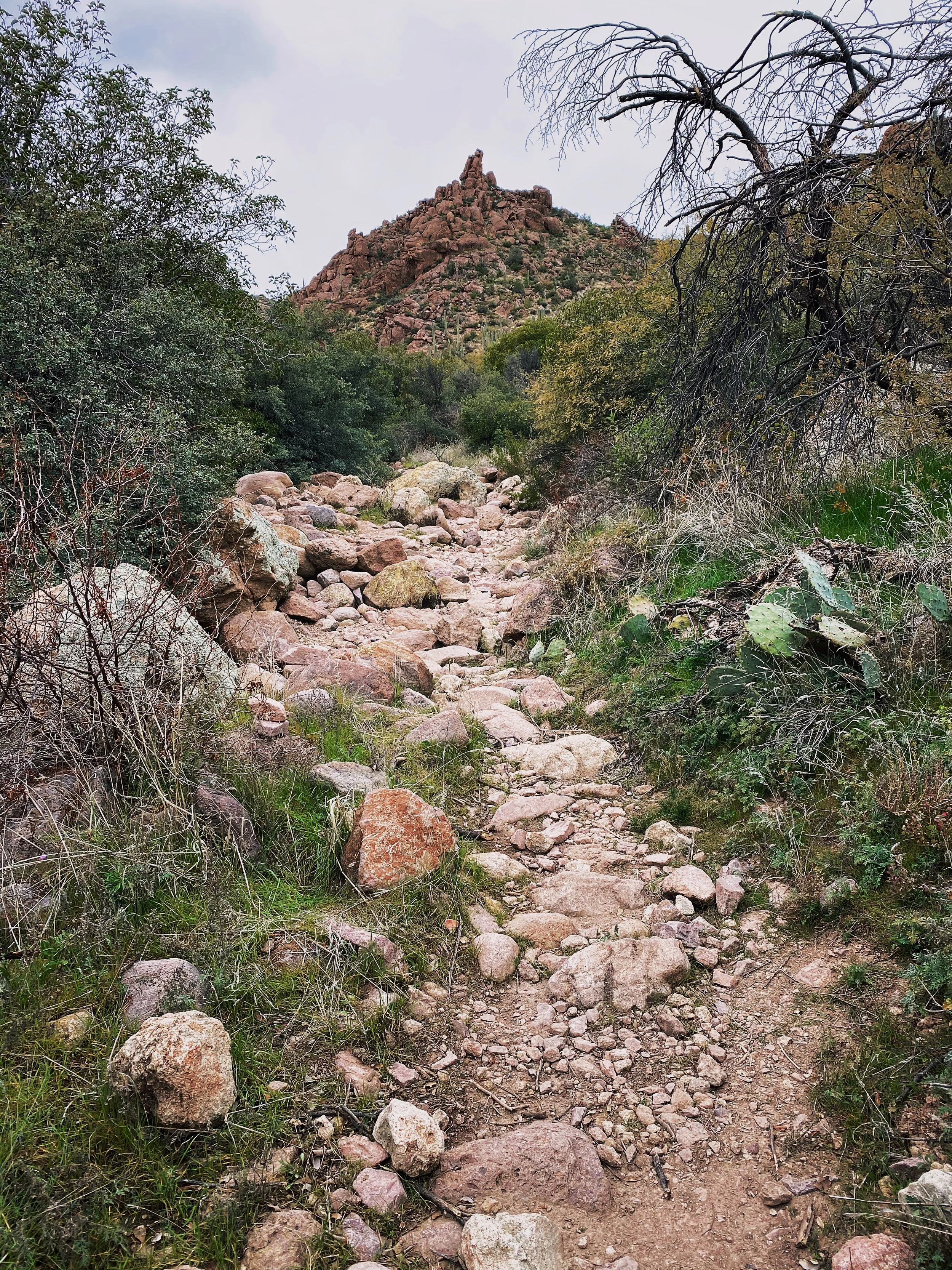
Bring a camera or at least your phone, you will be in for a number of scenic treats along the way.
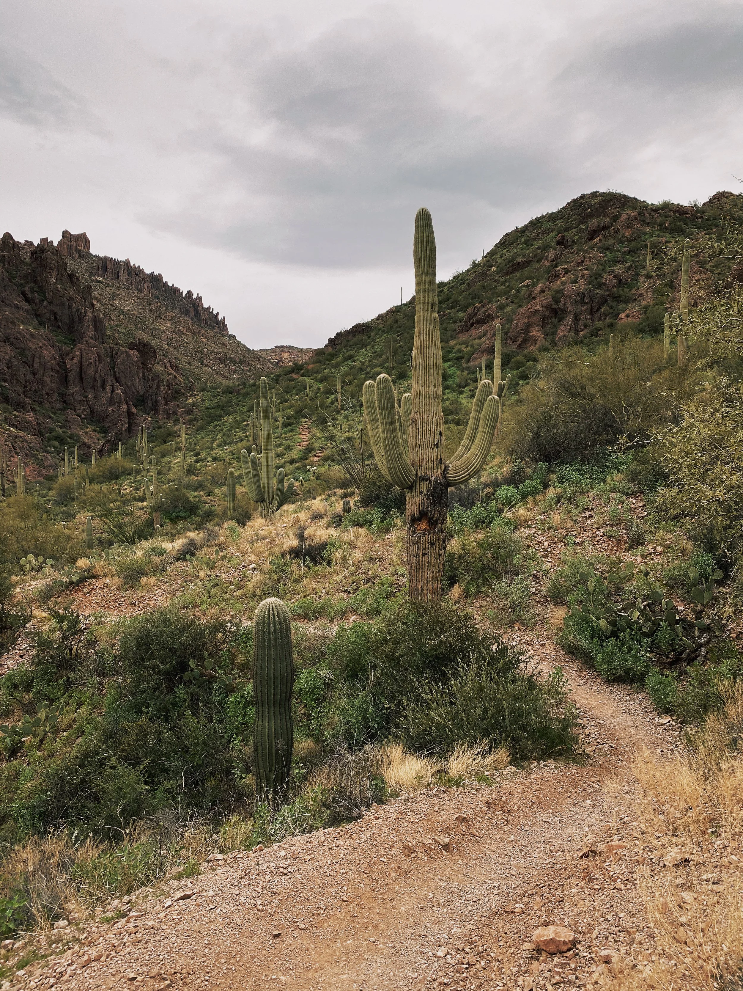
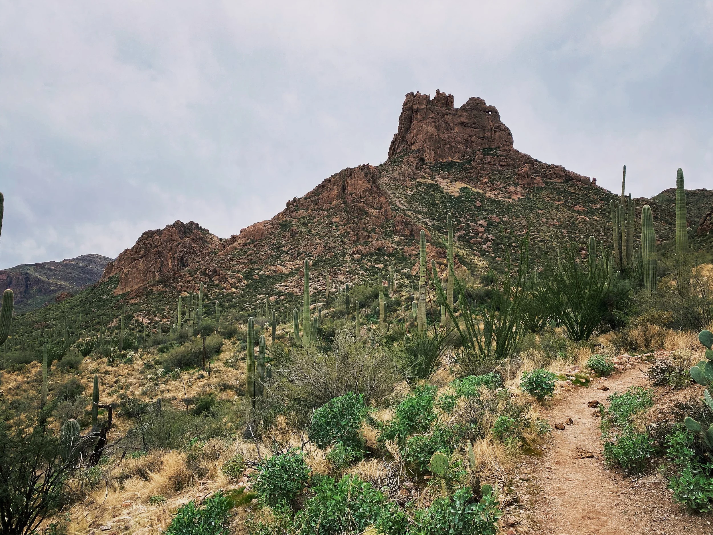
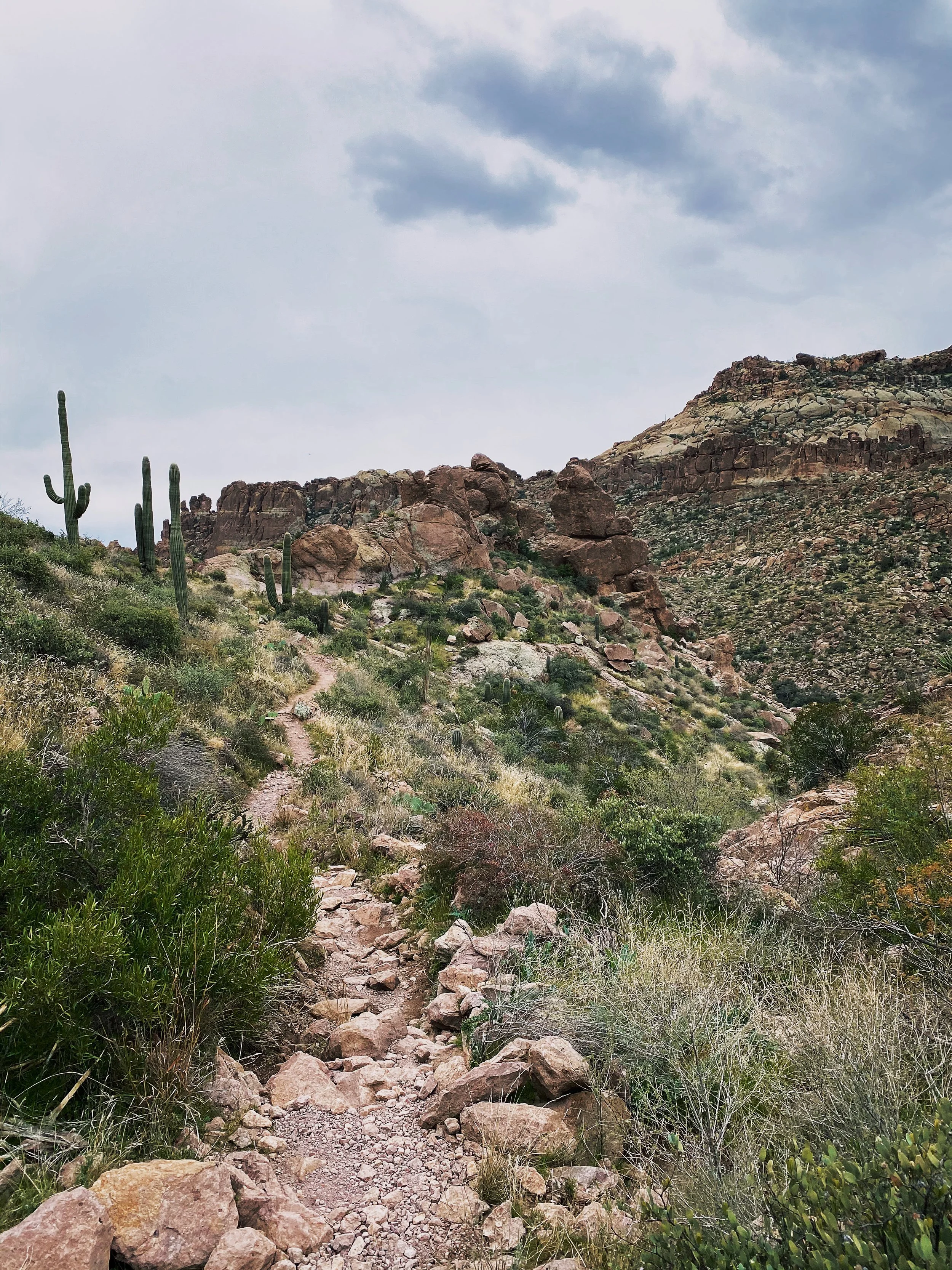
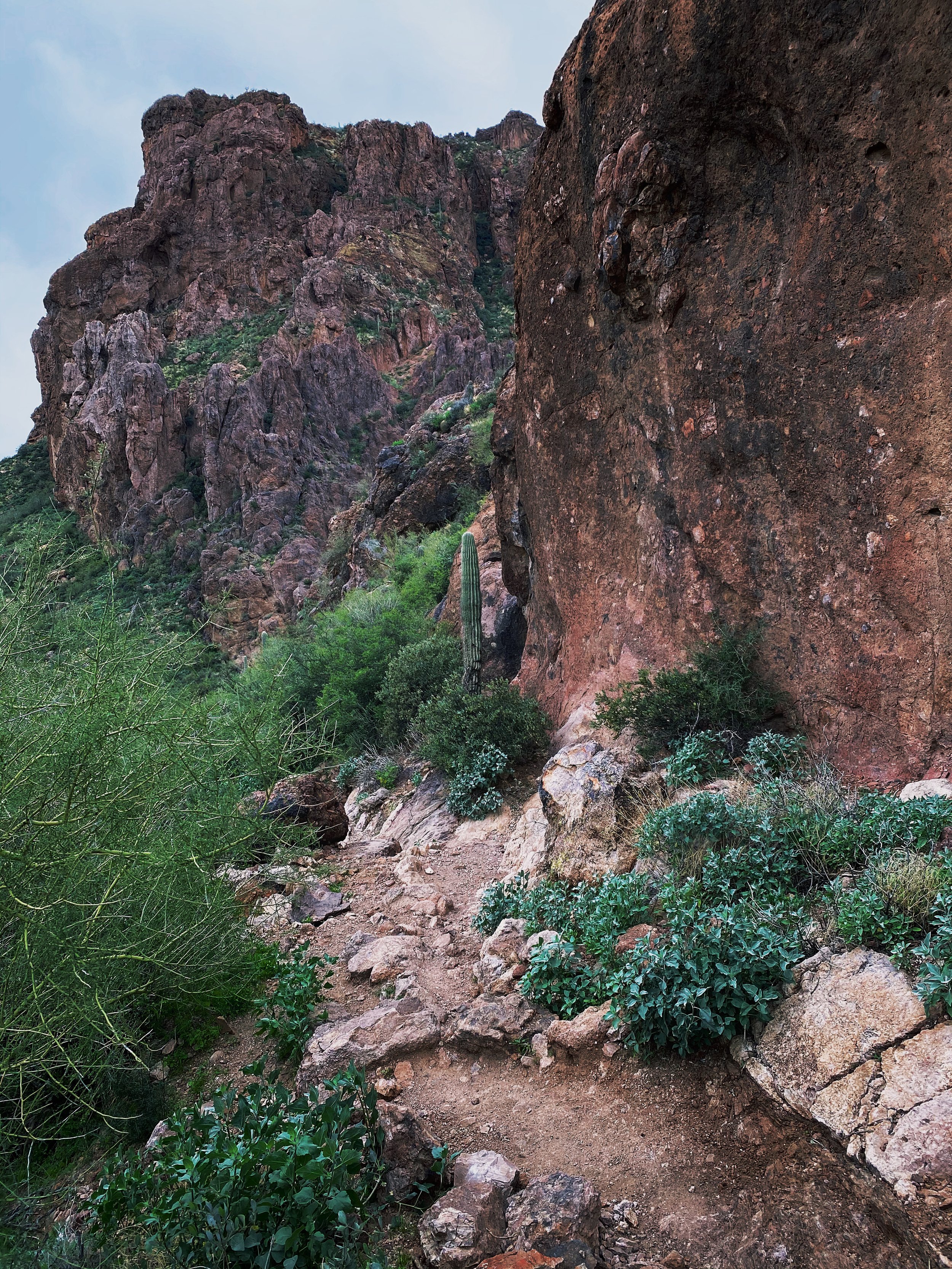
Saguaro cactus is littered everywhere standing tall. Remember to keep an eye on your arm movement as you pass or you may have some prickly friends along for the ride.
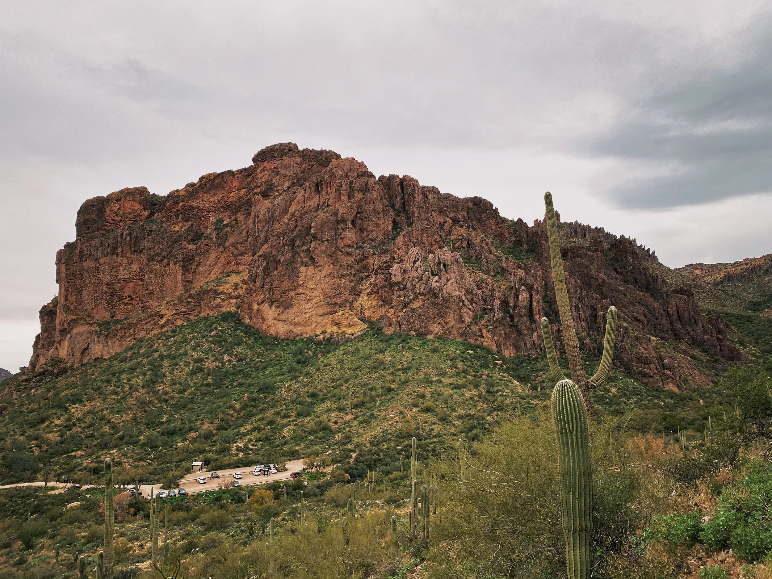
Upon arrival you will find a small dirt parking lot and restrooms. I have completed this hike 3 times and found the restrooms always open. I wouldn’t count on it though. Be prepared to pack it in and pack it out.
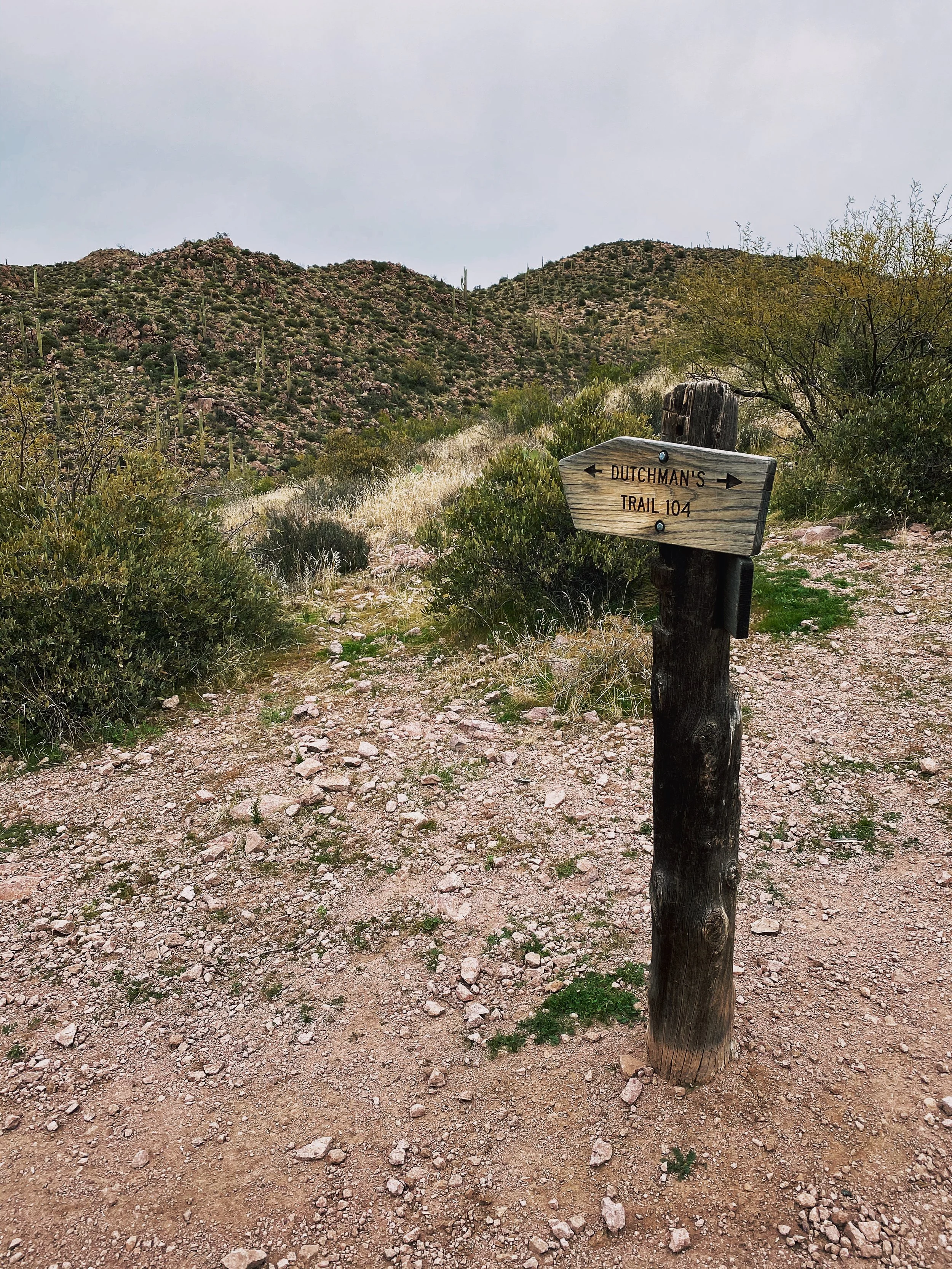
The trail is very easy to follow, though I would still recommend downloading a copy of the trail map to your phone ahead of time. Even with zero cellular coverage, a downloaded map file should still show you as a DOT on the map. I was able to follow the All Trails map with ease.
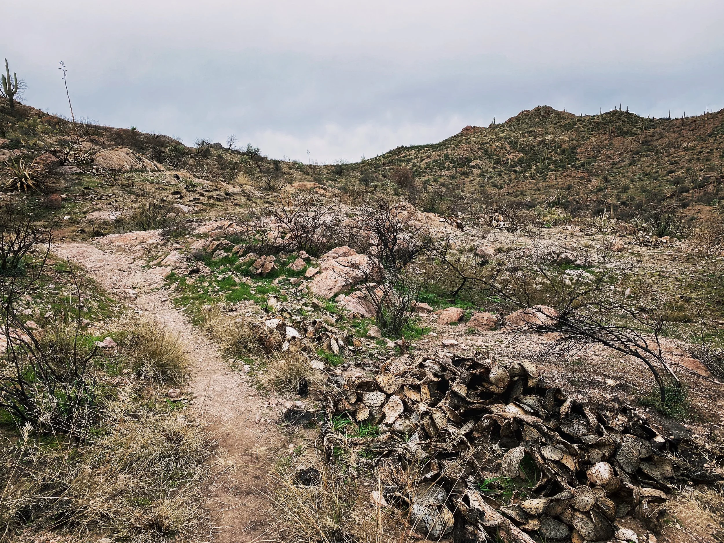
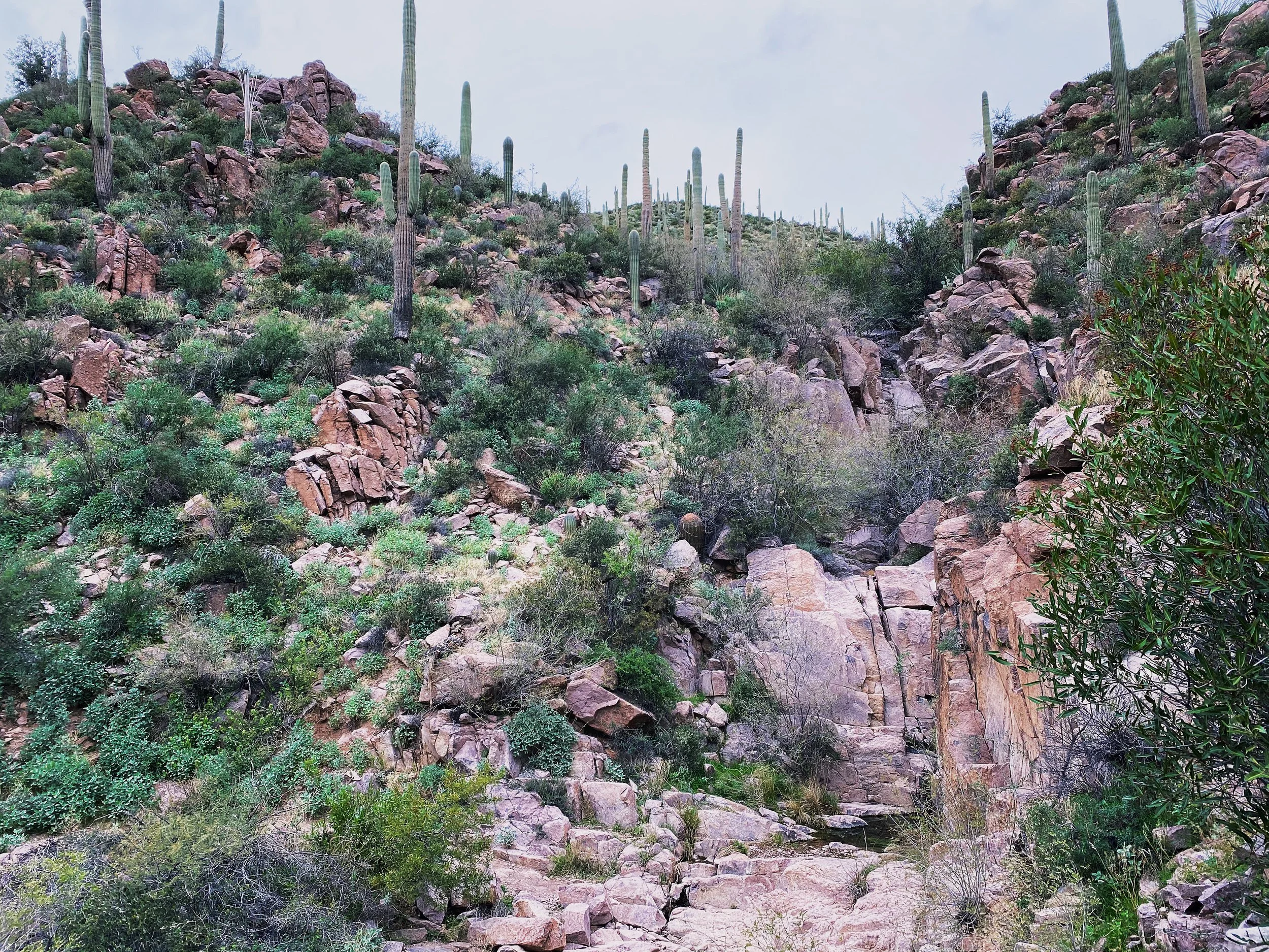
Sections like this are why I recommend hiking boots. Easy to turn an ankle navigating rock gardens. A set of hiking poles may not be a bad choice either.
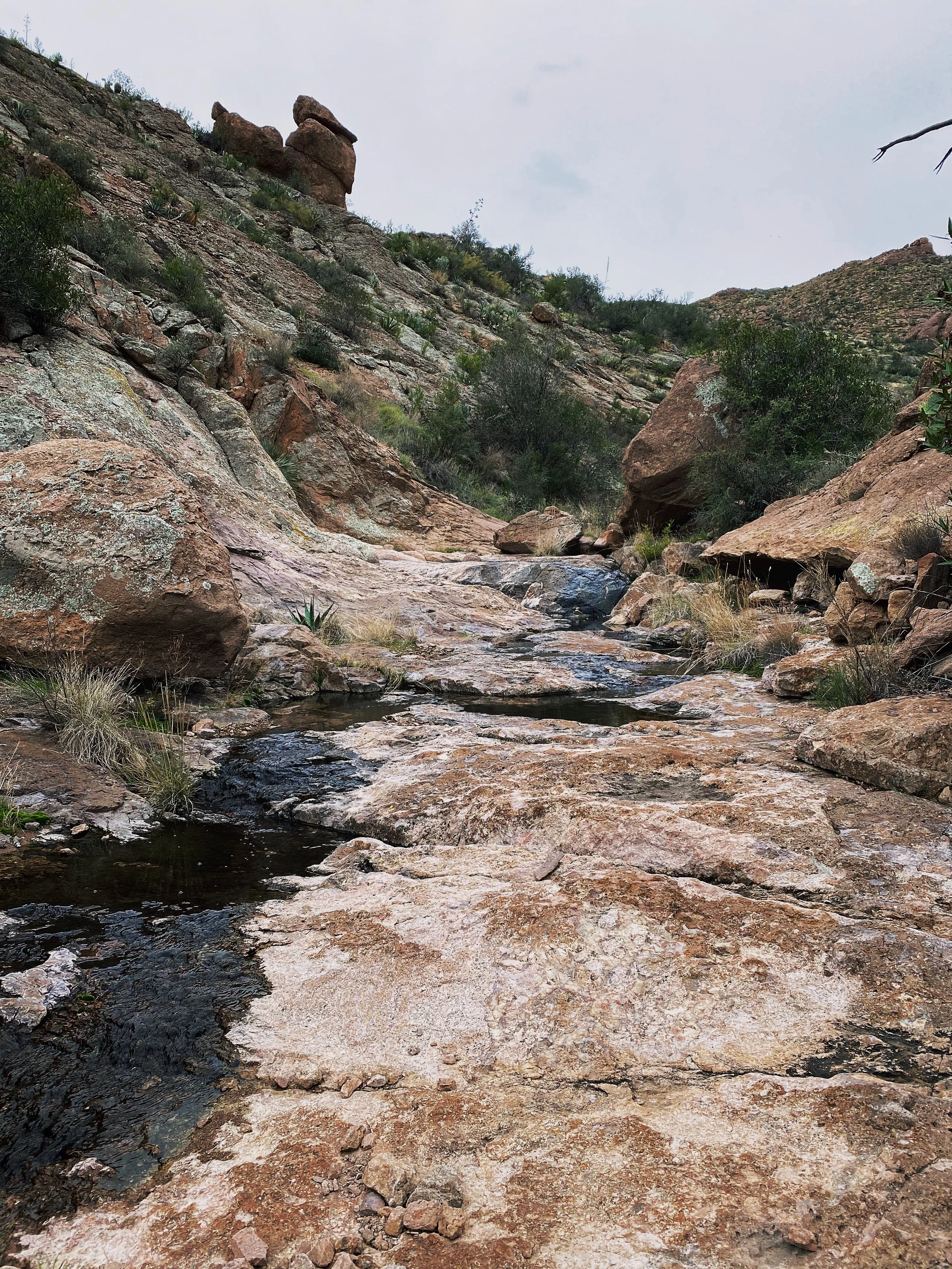
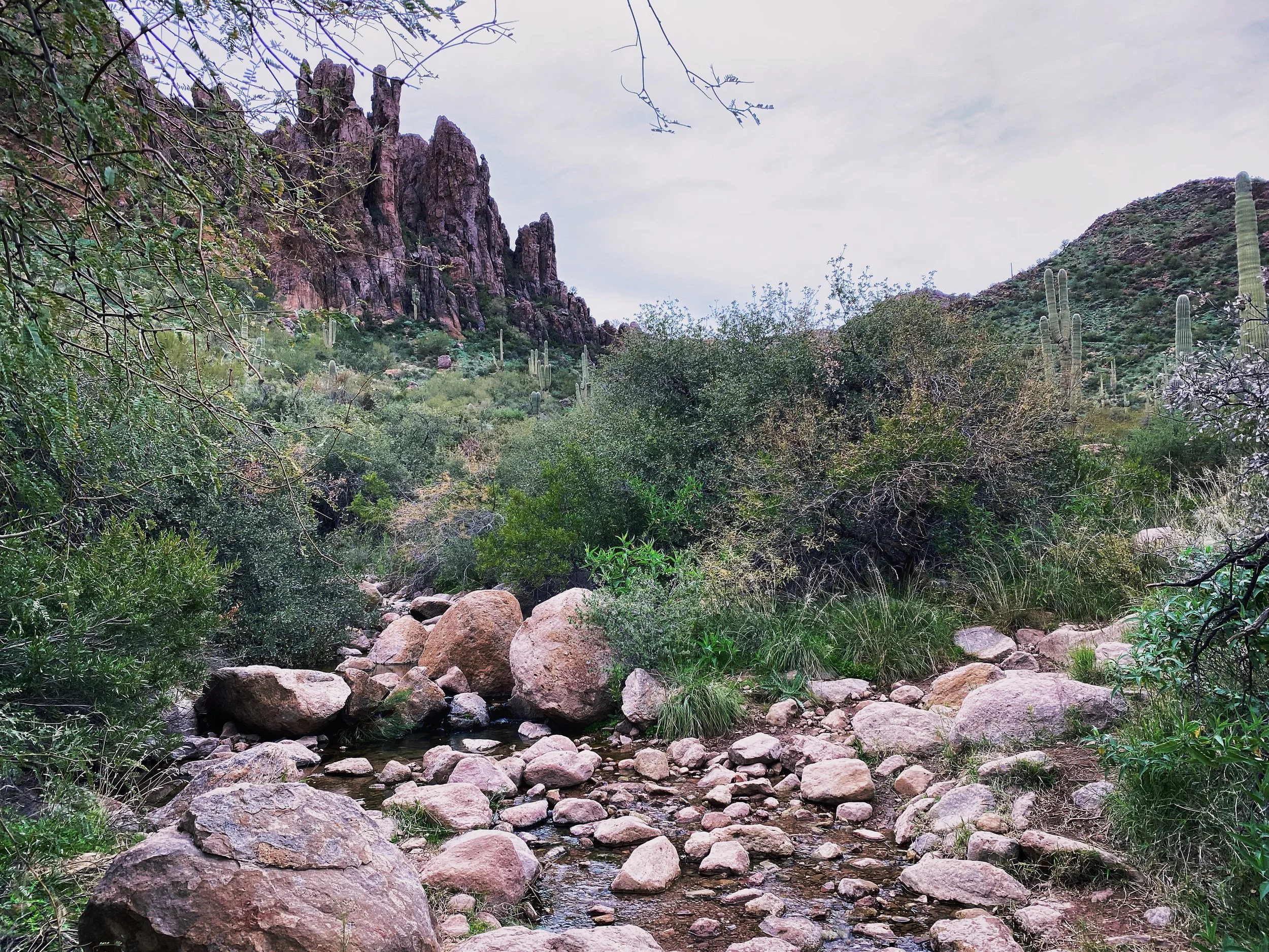
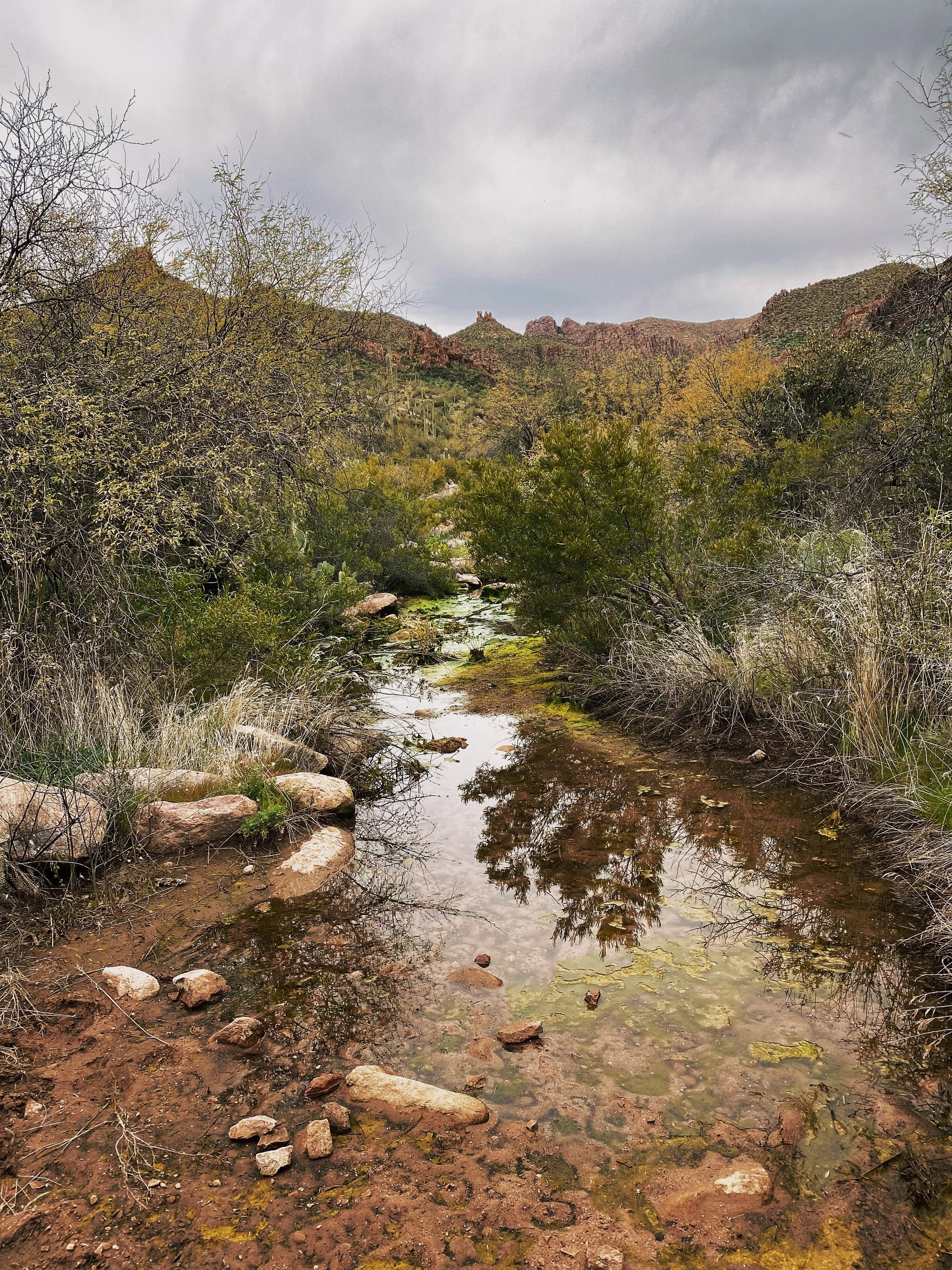
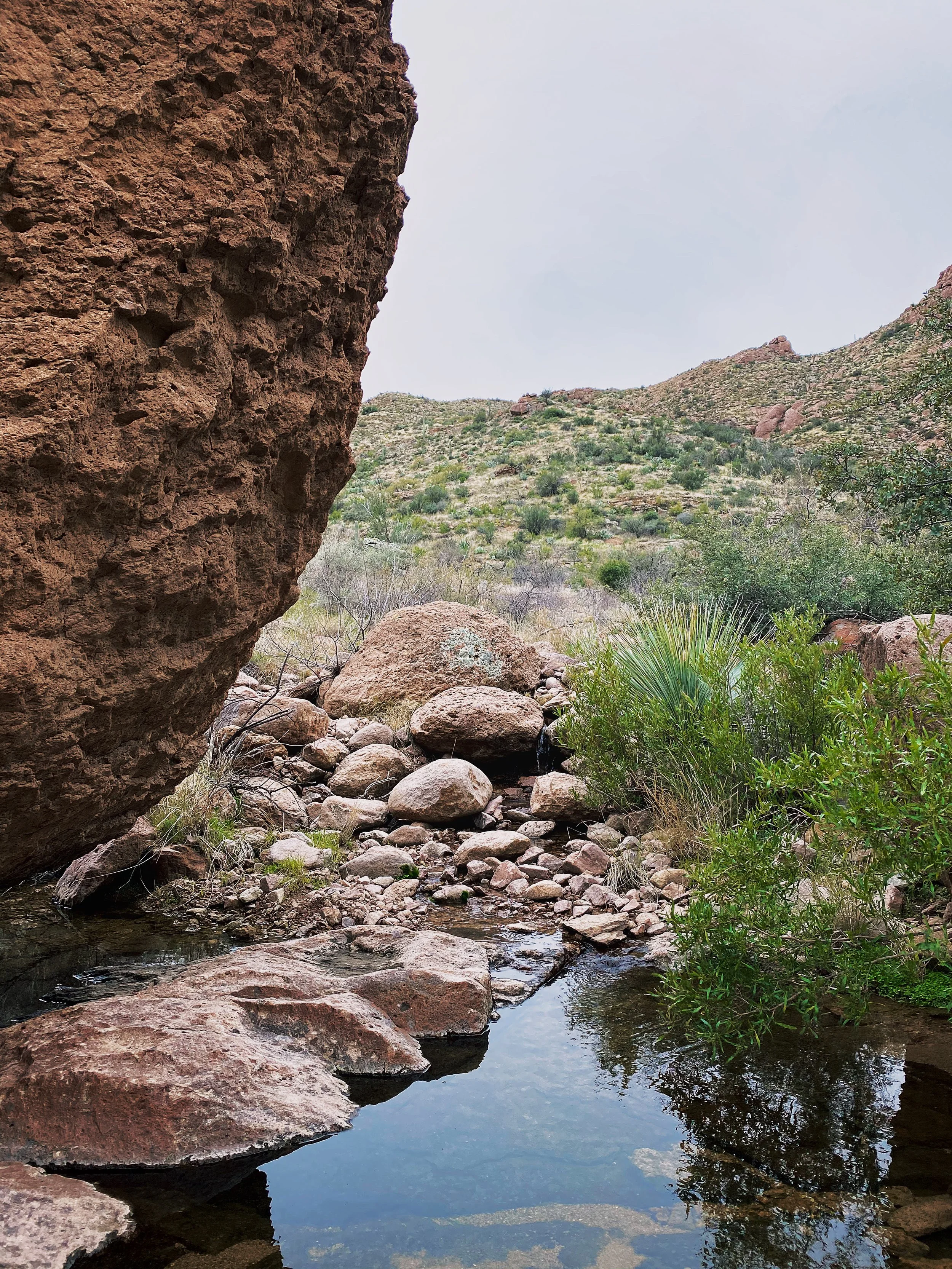
Use caution traversing the slick rock sections. It get’s its name for a very good reason. If there is ANY water flowing through the canyon, it will make passing much more challenging.
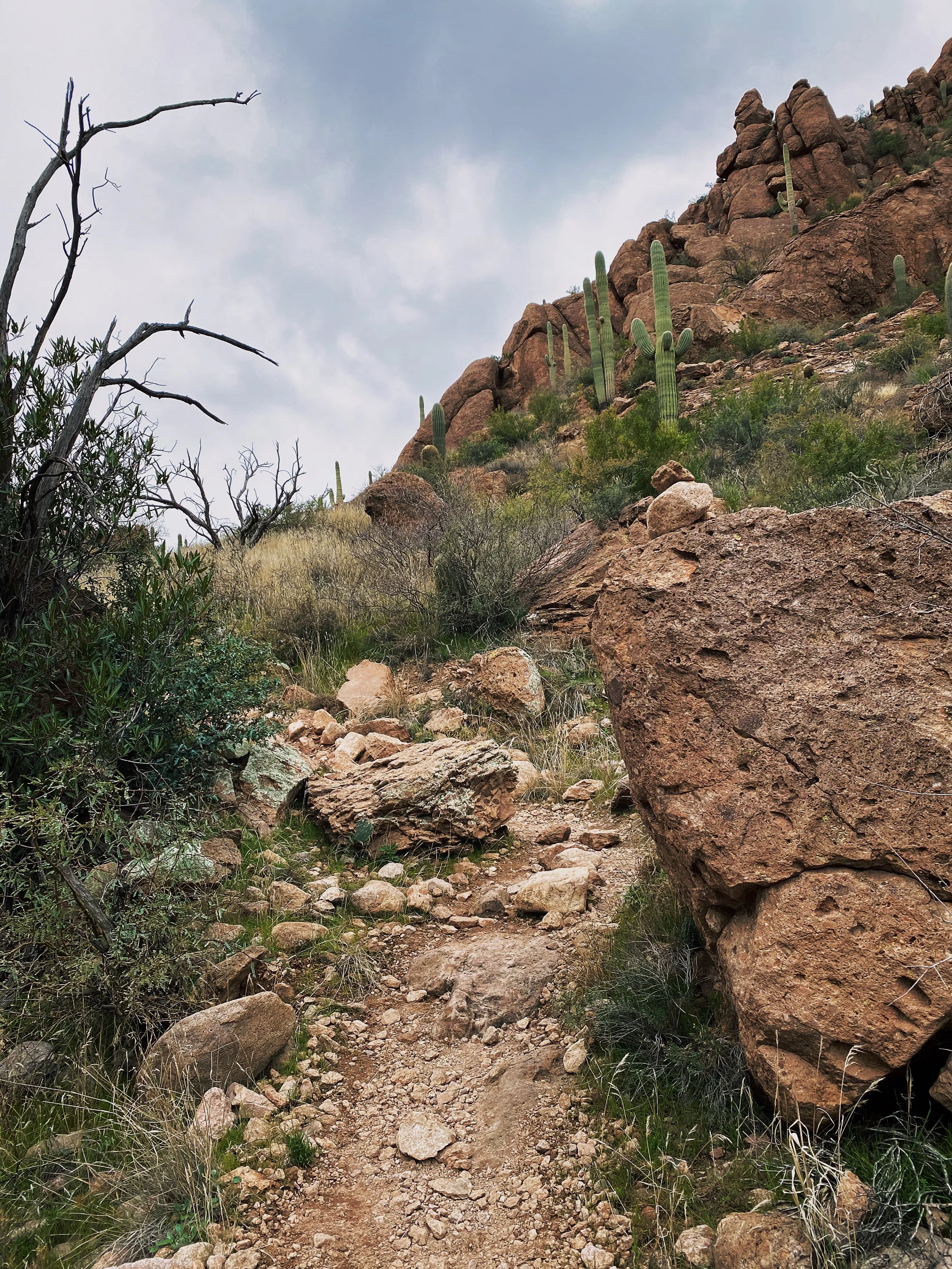
Though most of the inclines are mellow, there are a good number of punchy ups.
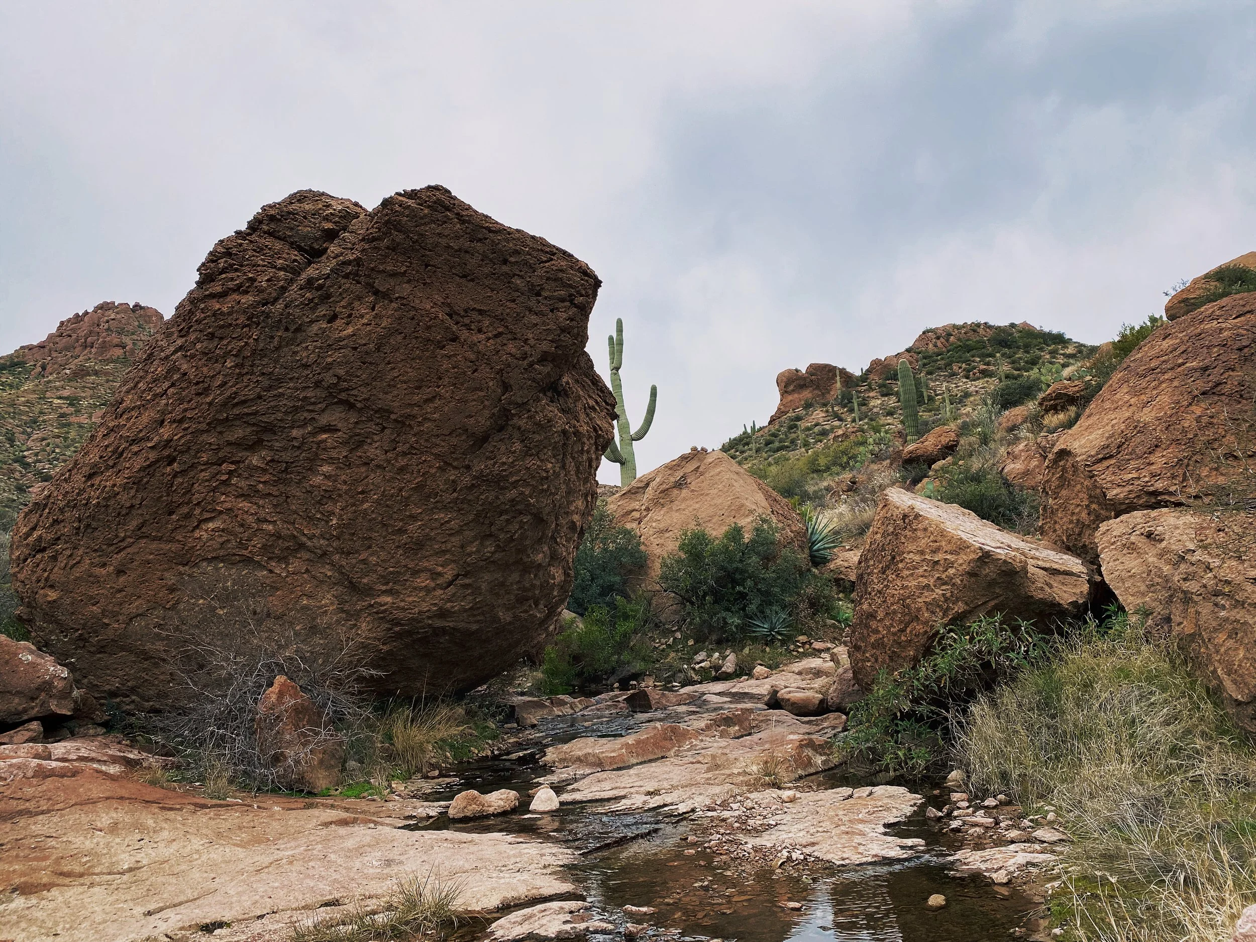
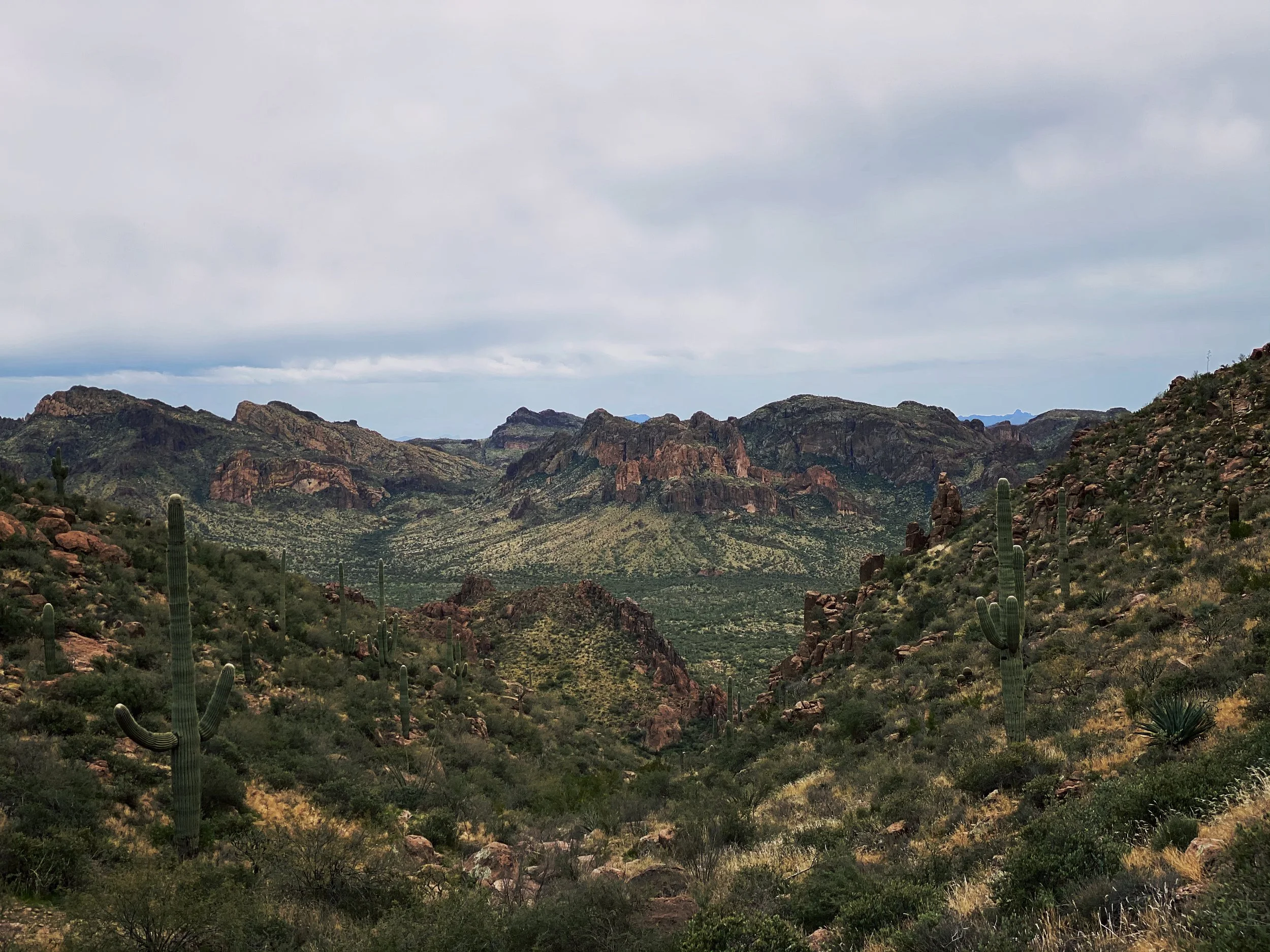
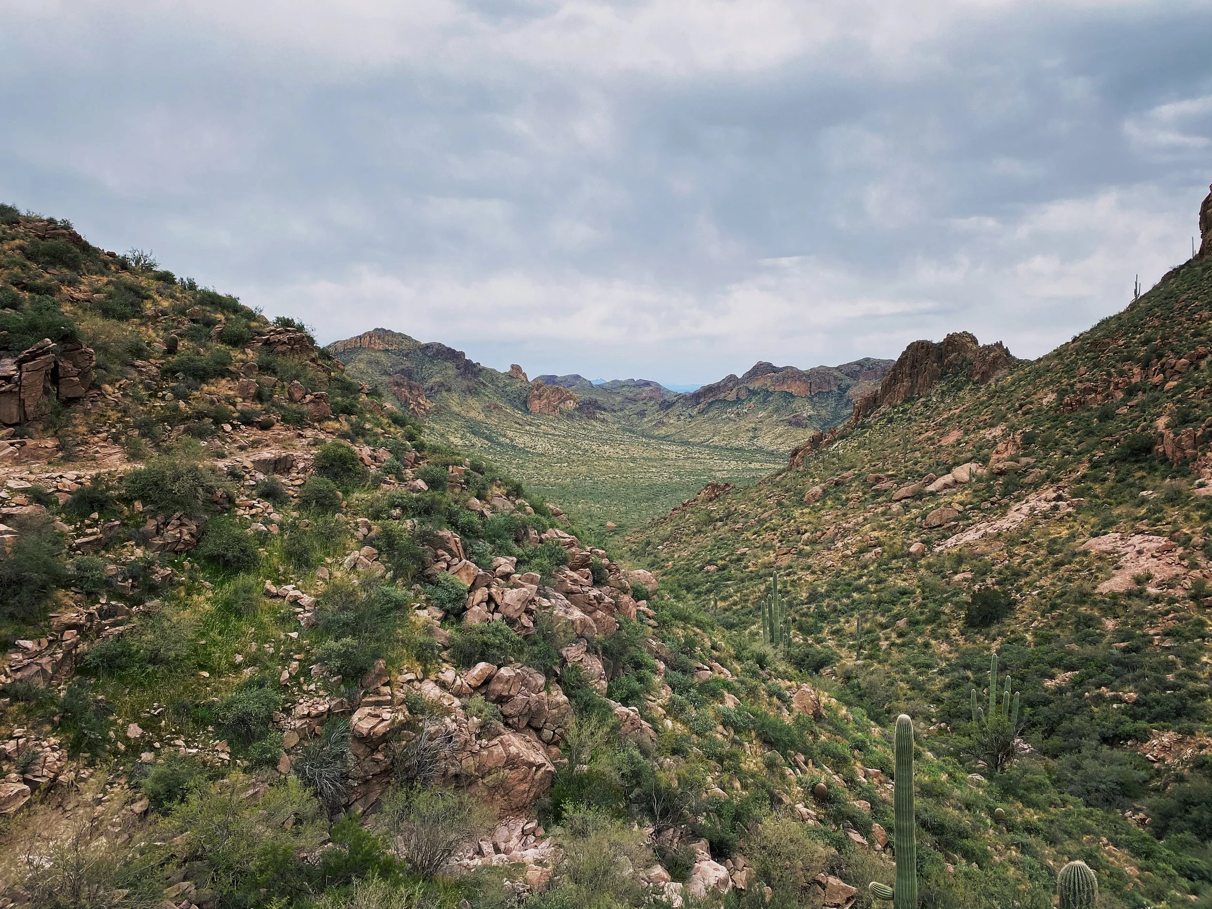
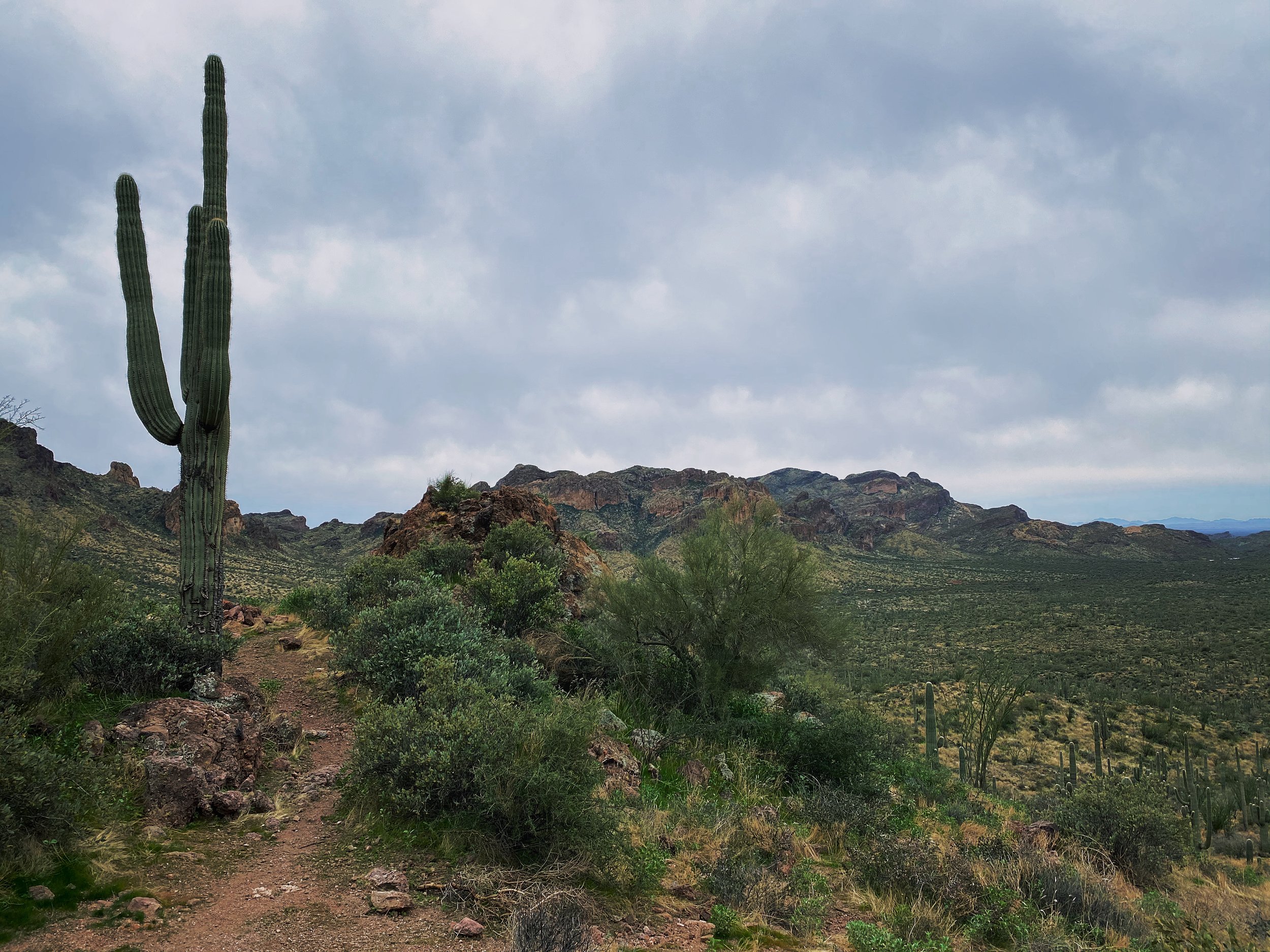
Views on views. At this moment I was really missing my Fuji X-Pro 2 I left in the hotel room.
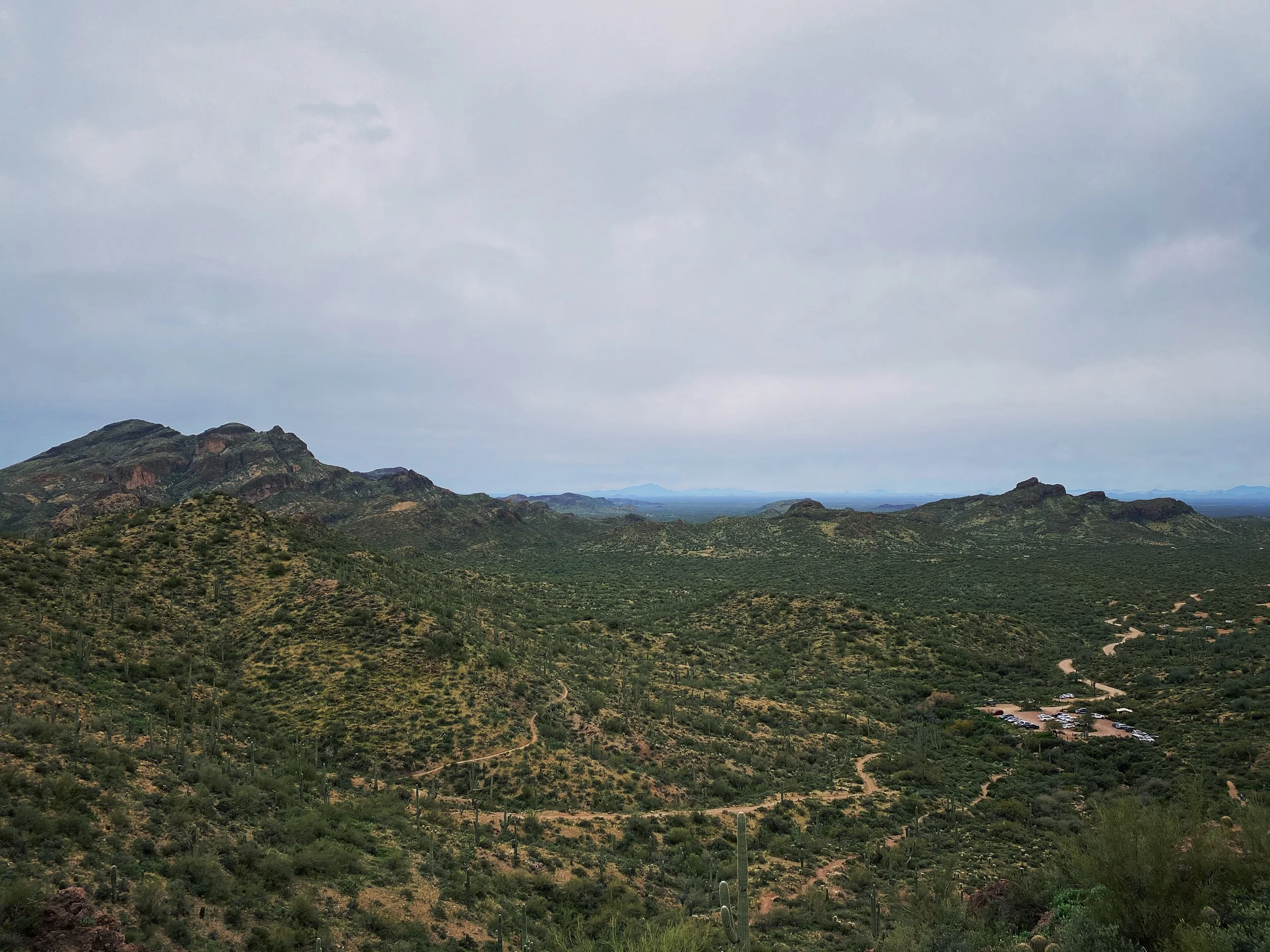
Looking back at the parking area after hitting the first peak of the day.
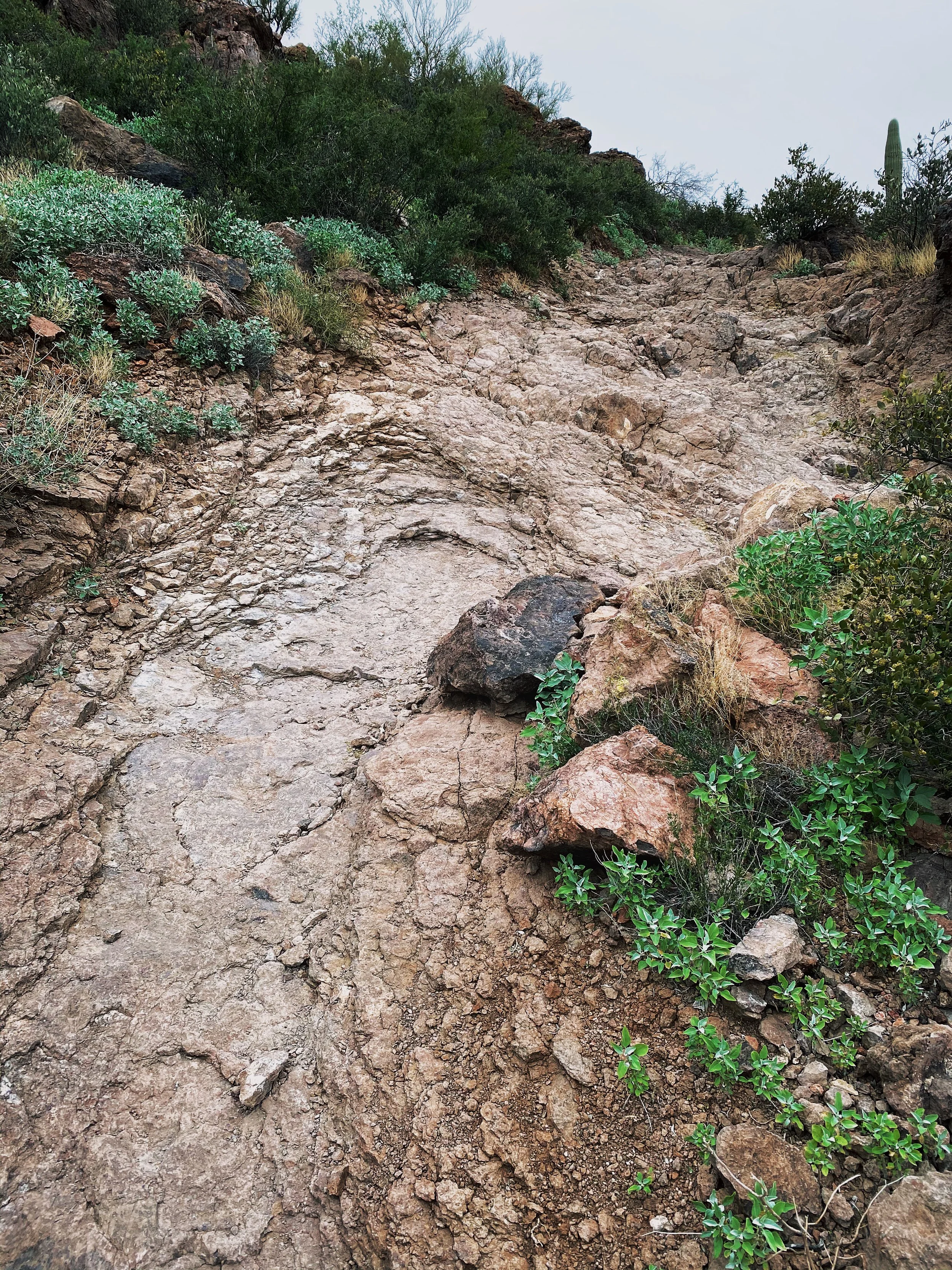
This is one of the punchy climbs I mentioned. It is much steeper than it looks. Be ready.
I found a great deal of information about the trails, recent trail reports, weather and more on All Trails. Do some research before you embark on your own. As always, stay safe and have a blast out there!